The Q-GEO Research Group of the University of León (ULE), partner of DIGIS3, is among the 14 research groups of the ULE that are part of the EDIH DIGIS3, a consortium formed by six entities of Castilla y León (ULE, IoT-DIH (AIR Institute), DIHBU, y DIH-LEAF, SCAYLE Supercomputing Centre and Institute for Bussines Competitiveness of Castilla y León-ICE), with the aim of promoting the Smart and Sustainable Digital Transformation of SMEs and public administrations in the region over the next three years.
Part of the Q-GEO Research Group is made up of researchers with extensive experience in multidisciplinary geological studies applying advanced techniques such as Remote Sensing and Geographic Information Systems (GIS). The technological challenges the group addresses include the mapping of the spatial distribution of mineral concentrations and crop water requirements by remote sensing, with training through workshops and seminars, as one of the group's pillars.
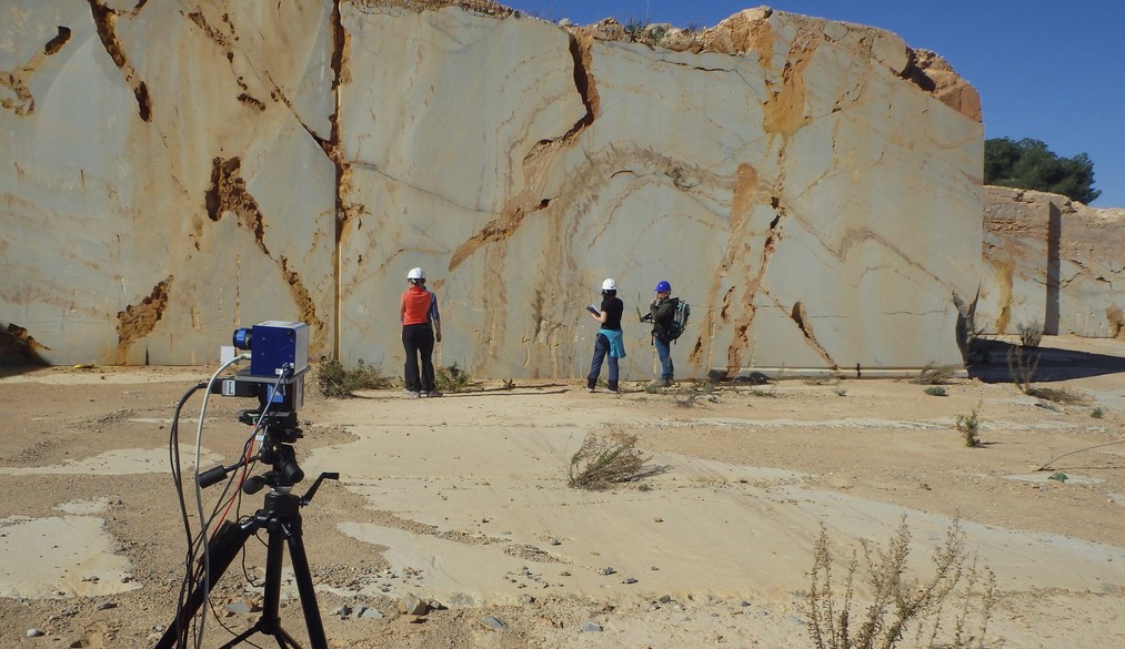
Within the DIGIS3 consortium, the Q-GEO Group provides companies linked to the exploitation and extraction of rocks, soils, minerals and irrigation water with technologies based on Remote Sensing and VNIR-SWIR laboratory reflectance spectroscopy to obtain useful information for the development of their tasks in the digital transformation processes.
The group has experience in image spectroscopy from satellite, airborne and ground-based sensors to obtain mineral and geochemical information that can be applied to land surface exploration, which facilitates the combination of images of different spatial and spectral resolutions.
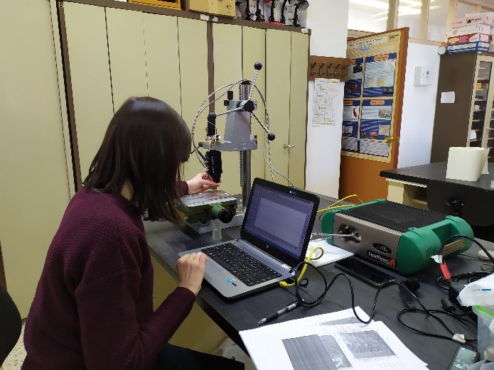
In addition, the use of ground-based sensors for surface outcrops and the study of detailed soil and rock samples in the laboratory with diffuse reflectance spectroscopy is able to cover metric to micrometric ranges, ranging from space-based observation to handheld sampling.
In addition, the diffuse reflectance spectroscopy equipment with the various laboratory accessories at the Q-GEO Group's External Geodynamics facilities is also able to analyse any material of multiple sizes and shapes and study its spectra for compositional characterisation.
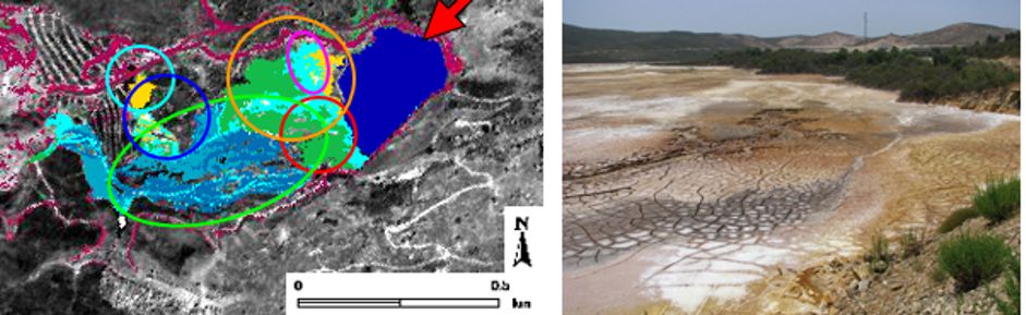
The study and analysis of spectroscopic information from multiple sources allows us to characterise in great detail the mineral composition of the area or materials under study, obtaining information of great value for their classification. More specifically, the techniques used by the Q-GEO group allow for the classification of materials for different purposes depending on their chemical and mineral composition at the quarry or any other quarry site. Likewise, in extractive mining industries, it allows for the determination of the advancement in quarrying, optimising the technical resources in this type of mining. Soil studies are also carried out to characterise the mineral and geochemical composition (the presence of pollutants) or organic matter.
At the same time, in terms of water resource management, members of the Q-GEO Group have successfully participated in research projects on monitoring the water balance of agricultural activity and facilitating water management for companies, reducing the water footprint of crops and, therefore, their impact on the water reserves of the river basin.
This potential for transfer outside the University of León (ULE) has been launched towards training and practical advice to the Business Association Marble, Stone and Materials Technological Centre (Cehegín, Murcia) recognised by the Ministry of Science and Innovation and made up of 59 companies mainly from the ornamental rock sector, but not exclusively, as well as irrigation companies operating in the Duero river basin.